
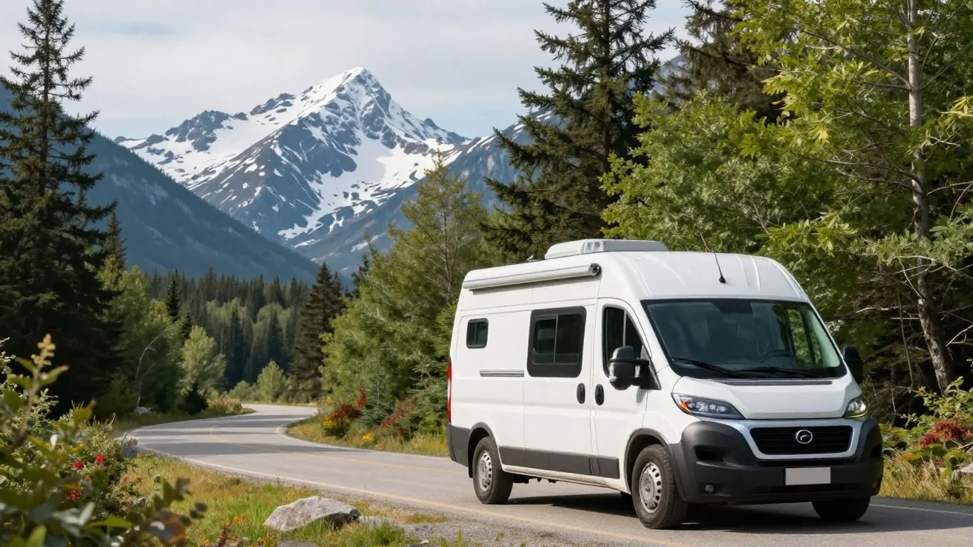
The Gaspé loop follows Route 132 around the peninsula from Sainte-Flavie, and driving it clockwise (north shore first) gives you the dramatic cliff-and-river coast early, Forillon National Park at the tip, Percé Rock as the highlight and the gentler Chaleur Bay shore to finish. Allow eight to ten days in a motorhome. The road is paved throughout, but the north coast east of Sainte-Anne-des-Monts has short, steep climbs and descents through each river-mouth village.
Here is how we pace the loop for RV travellers, with campgrounds and driving notes.
Which direction to drive
Route 132 forks at Sainte-Flavie. Québec maritime describes the two options this way:
| Clockwise (northern Gaspésie first) | Counter-clockwise (southern Gaspésie first) | |
|---|---|---|
| First impression | Immediately on the curving road between cliffs and the St. Lawrence | Rolling countryside and forest through the Matapédia Valley before reaching the sea |
| Percé Rock | Grows gradually larger in the distance as you approach | Appears suddenly as you round the coast |
| End of the trip | Chaleur Bay beaches, then countryside back toward the coast | The north-shore cliffs |
| Lane position on the north shore | Inland lane, away from the water | River-side lane |
We lean clockwise for motorhomes because the most demanding driving comes in the first days, when you are fresh, and the last days on Chaleur Bay are easy. If you want the north-shore views from the water-side lane, drive it counter-clockwise; either works.
Grades on Route 132
Most of the loop is gentle, but the stretch of Haute-Gaspésie between Sainte-Anne-des-Monts and Gaspé hugs the foot of the Chic-Choc Mountains. Between villages the road climbs and descends repeatedly, so this is the section to drive slowly. Cycling guides note some steep climbs on this coast, including a short, steep section near Grande-Vallée, which tells you what to expect in a heavy vehicle.
- Engage Tow/Haul or a lower gear at the top of each descent, before the vehicle picks up speed.
- Expect lower speed limits as you enter villages at the bottom of descents, and watch for pedestrians.
- Use pull-offs and lookouts to let faster traffic by rather than leading a queue.
- Drive this section in daylight and good weather, and give yourself a short day so you are not rushing the hills late in the afternoon.
- Check your brakes feel normal at each stop; if you smell hot brakes, pull over safely and let them cool.
South of Gaspé, through Percé and along Chaleur Bay, grades ease and the road is easier going.
The key stops: Matane, Forillon and Percé
Matane
Matane is the last larger town before the north coast narrows, so it is a good place to stock up on groceries and fuel. It is also the terminal for the Matane–Baie-Comeau–Godbout ferry to the Côte-Nord, if you want to link the loop with a longer Québec trip.
Parc national de la Gaspésie
Inland from Sainte-Anne-des-Monts, this Sépaq park protects the Chic-Chocs and, according to Québec maritime, the only herd of woodland caribou south of the St. Lawrence. Its Mont-Albert sector is a worthwhile detour for a hiking day.
Forillon National Park
Forillon at the tip of the peninsula has two RV campgrounds and 100% reservable sites, according to Parks Canada:
- Petit-Gaspé (south area): wooded, with 101 unserviced sites, 35 with electricity and 31 with water and electricity (15 and 30 amp), and six pull-through sites in loop A. Dump station at the entrance; pool and laundry nearby.
- Des-Rosiers (north area): semi-wooded, closer to the sea, with 104 unserviced and 42 electrical sites and a dump station.
- Cap-Bon-Ami is tents only.
Generators are allowed only from 5 to 7 p.m., and campsite water is sometimes not potable, so arrive with a full fresh-water tank.
Percé
Parc national de l'Île-Bonaventure-et-du-Rocher-Percé protects Percé Rock and Bonaventure Island, home to a colony of about 110,000 northern gannets. Boat excursions to the island are run by private operators from Percé, and the park recommends buying the daily access pass online. The island has about 15 km of hiking trails. The park operates from late spring to mid-October; check current dates.
A nine-day clockwise pace
| Day | Route | Highlights |
|---|---|---|
| 1 | Sainte-Flavie to Matane | Jardins de Métis (Reford Gardens), first views of the St. Lawrence |
| 2 | Matane to Sainte-Anne-des-Monts | North-shore villages and river views |
| 3 | Parc national de la Gaspésie | Hiking day in the Chic-Chocs |
| 4 | Sainte-Anne-des-Monts to Forillon | The steepest coastal driving; take it slowly |
| 5 | Forillon | Coastal walks, beaches and a slow day at camp |
| 6 | Forillon to Percé | Gaspé town for supplies; first views of Percé Rock |
| 7 | Percé | Bonaventure Island and the gannet colony |
| 8 | Percé to Chaleur Bay | Beaches and fishing villages along the bay |
| 9 | Chaleur Bay to Sainte-Flavie | Matapédia Valley countryside back to the St. Lawrence |
With less time, drop day 3 and combine days 8 and 9 into one longer drive. With more, add a night in Percé or a second night at Forillon. Bonjour Québec's Bas-Saint-Laurent–Gaspésie tour suggests 10 days and about 1,270 km starting from La Pocatière, which is a useful guide if you are coming from Québec City or Montréal.
Practical tips for the loop
- Fuel and groceries: fill up in the larger centres (Matane, Sainte-Anne-des-Monts, Gaspé and the Chaleur Bay towns). Villages on the north coast are small.
- Language: Gaspésie is predominantly French-speaking. Signs are in French; a few phrases and an offline translation app help.
- Booking: Forillon and Percé fill in July and early August. Reserve key nights early and keep the rest flexible.
- Food: look for fresh seafood counters and roadside casse-croûtes (snack stands) along the coast, and stock the fridge in the larger towns.
- Park fees: Forillon is a Parks Canada site, and the entrance fee is added for each day of a campground stay. Percé and Parc national de la Gaspésie are Sépaq parks with their own daily access passes, which you can buy online.
- Season: the Percé park lists a late-spring to mid-October season, and many seasonal services along the coast follow a similar window. June to September is the most reliable time for a motorhome loop.
- Offline maps: download them before you leave Matane, in case mobile coverage is patchy between villages.
Planning notes
Most clients reach Gaspésie from a Montréal pick-up; our Montréal routes guide covers the drive east, and Ontario and Québec RV holidays shows how the loop fits a longer trip. Check season by region before choosing dates. Far & Away Adventures can reserve Forillon and the Percé nights around your motorhome dates.
Frequently asked questions
How long is the Gaspé Peninsula loop?
The loop from Sainte-Flavie around the peninsula is several hundred kilometres. Including the approach from La Pocatière, Bonjour Québec puts its Bas-Saint-Laurent–Gaspésie tour at about 1,270 km over 10 days.
Can I take a large motorhome around the Gaspé?
Yes, Route 132 is a paved highway used by trucks and coaches. Large units should take the north-coast hills slowly and book campgrounds that list sites for their length.
Do I need to speak French?
No, but it helps. Many tourism businesses speak some English, while smaller villages may not. Basic French phrases go a long way.
Use this guide for trip ideas, not a current quotation or a guarantee of access, safety, inclusions or availability. Confirm the requirements and conditions for your dates, destination and provider before booking.